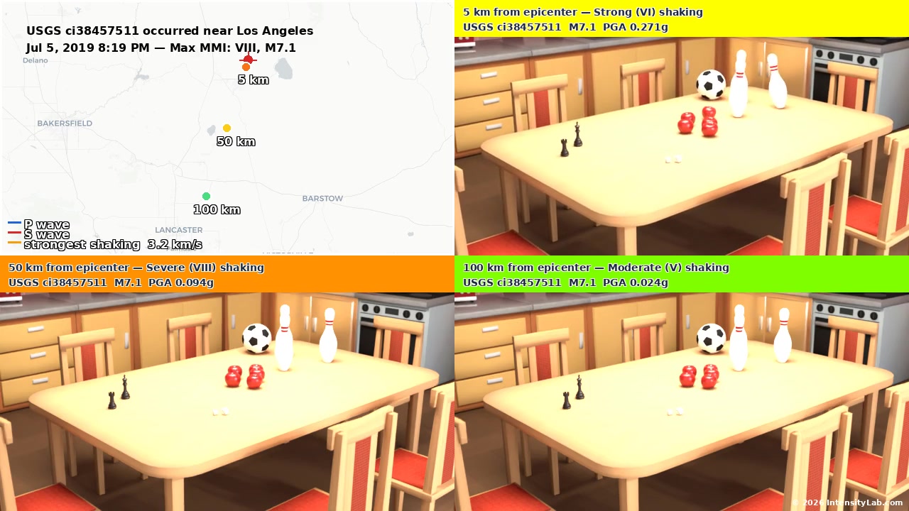
After a significant earthquake in our region
When an earthquake strikes the western United States or northern Mexico, we gather what was measured, estimate the shaking at named places, and simulate the ground motion where no sensor recorded it.
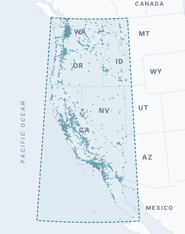
Our region
Latitude 28 to 49°N and longitude 125 to 113°W: the western United States and northern Mexico, with 2,002 named places.
What we produce, in order
- Intensity at named placesThe USGS ShakeMap, interpolated to 2,002 towns and cities. ExampleM3.5 and up
- Prediction comparisonFour ground motion models (NGA-West2) compared with the ShakeMap. HowM3.5 and up
- Station observationsIntensity at seismic stations, from their recorded peak motion. ExampleWhen available
- Event summaryOne page for the earthquake, and email notices to subscribers. ExampleM3.5 and up
- Simulated seismogramsGround motion at places with no sensor, from the Broadband Platform through the bbpservices.net API. ExampleMMI 5 and up
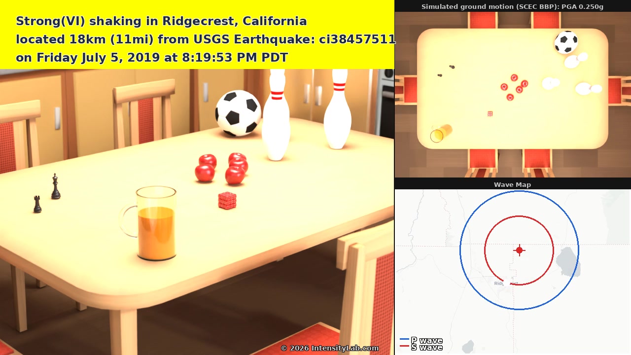
- Shaking animationsA Kitchen and a Tabletop, moved by the ground motion at a town, at a station, and at three distances. ExampleMMI 5 and up
- Regional wave moviesThe waves crossing the map. Wave simulationsM4.5 and up
Simulating ground motion where there are no sensors
Seismic stations are far apart, and most towns have none. The SCEC Broadband Platform (BBP) computes a seismogram at any location from the earthquake's source and a model of the crust. We get these simulations through the bbpservices.net API.
How we check them
We compare simulations with recordings of the same earthquake and with camera footage. Each simulation is one realization of how the fault may have broken, so a difference of one intensity level at one place is expected.
One earthquake, many intensities
The 2019 M7.1 Ridgecrest earthquake had one magnitude. At the named places it reached, intensity ran from VII near the fault to IV in Los Angeles.
Recorded and simulated, same earthquake
A camera in Ridgecrest, and our animation of the ground motion simulated there.

Latest earthquake in our region
Recent earthquakes →Intensity at named places is interpolated from the USGS ShakeMap. 5 earthquakes of magnitude 3.5 or more in the latest 30 days of our records.